Broward County sits on a low-lying stretch of South Florida coastline, laced with canals and just a few feet above sea level in most neighbourhoods. For homeowners, buyers, and investors, understanding your property’s FEMA flood zone isn’t optional paperwork — it directly affects your mortgage requirements, your insurance premiums, and your long-term exposure to water damage. This guide breaks down everything you need to know about flood zones and FEMA maps in Broward County, from reading a Flood Insurance Rate Map (FIRM) to understanding the county’s most recent map update.
Why Flood Zones Matter in Broward County
Broward County is one of the most flood-exposed counties in the United States. It’s flat, it’s surrounded by canals that drain into the Everglades and the Atlantic, and much of it sits at or near sea level. Add South Florida’s intense rainy-season storms and rising sea levels, and flood risk becomes a permanent fixture of property ownership here — not a rare event.
The April 2023 rainfall event made this reality impossible to ignore. Fort Lauderdale and surrounding cities were hit with what meteorologists classified as a 1-in-1,000-year rainfall event, dumping more than two feet of rain in some areas within hours. Homes that had never flooded before took on water. That event, combined with updated storm surge modeling and canal data, pushed FEMA to redraw the county’s flood maps.
Understanding your flood zone tells you three practical things:
- Whether flood insurance is legally required for your mortgage.
- How much you’ll likely pay for flood coverage.
- What building and renovation restrictions apply to your property.
What Is a FEMA Flood Map (FIRM)?
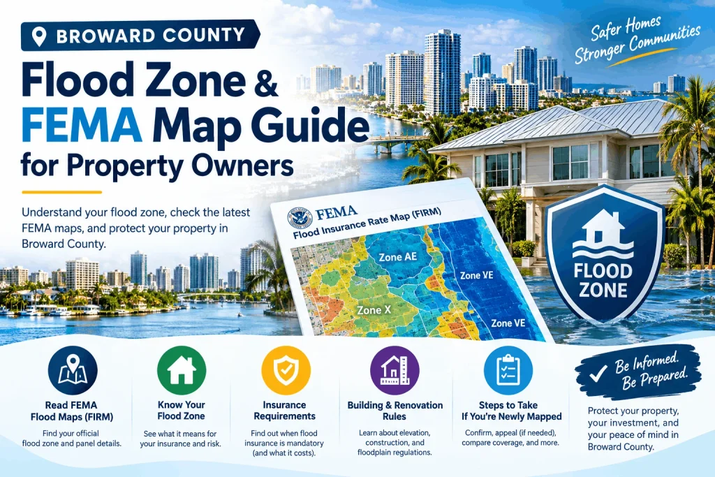
A Flood Insurance Rate Map, or FIRM, is the official map FEMA produces to show flood risk zones for a community. FIRMs are the backbone of the National Flood Insurance Program (NFIP), which Congress created in 1968 to help property owners in flood-prone areas obtain insurance that private insurers were reluctant to offer.
Each FIRM divides a community into zones based on the likelihood of flooding in any given year. The core reference point is the “base flood,” commonly called the 100-year flood — meaning there’s a 1% chance of a flood of that magnitude occurring in any single year. That 1% figure doesn’t mean a flood happens only once a century; it’s simply a statistical probability used for insurance pricing and floodplain management.
FEMA periodically updates these maps as new rainfall data, elevation surveys, and engineering studies become available. When a new FIRM becomes “effective,” it replaces the previous version and can change a property’s flood zone designation, insurance requirements, and premium calculations overnight.
Broward County’s Updated Flood Maps
Broward County’s new Flood Insurance Rate Maps became effective as of July 31, 2024, replacing maps that had been in place since the 1980s. County officials say the update reflects changes in storm surge intensity since the last revision, along with more detailed rainfall and canal-flow modeling.
The scale of the change was significant. According to reporting on the update, Broward County added roughly 88,000 properties to its flood zones that were not previously classified as flood-risk. The impact wasn’t limited to coastal areas — it reached deep into western Broward as well. Reported increases by city include:
| City | Additional Properties Now in a Flood Zone |
| Miramar | ~25,000 |
| Pembroke Pines | ~22,000 |
| Fort Lauderdale | ~9,400 |
| Hollywood | ~7,300 |
County engineers have attributed part of the inland expansion to canal systems that carry water from the coast deep into western communities, which is why cities like Pembroke Pines and Miramar — not typically thought of as “coastal” — saw such large increases.
If you own property anywhere in Broward County, it’s worth re-checking your zone even if you were told years ago that you were “not in a flood zone.” That status may no longer be accurate.
Understanding Flood Zone Letter Designations
FEMA flood maps use letter codes to categorize risk. Here’s what each designation means and how it typically affects insurance and building requirements in a county like Broward.
| Zone | Risk Level | What It Means |
| Zone X (unshaded) | Minimal risk | Area outside the 500-year floodplain. Flood insurance is not federally required, though still recommended. |
| Zone X (shaded) / 0.2 PCT | Moderate risk | Area within the 500-year floodplain (0.2% annual chance of flooding). Insurance optional but advisable. |
| Zone A | High risk | Special Flood Hazard Area (SFHA) with a 1% annual flood chance. No detailed water-surface elevations calculated. Mandatory insurance for federally backed mortgages. |
| Zone AE | High risk | Same 1% annual chance as Zone A, but with a calculated Base Flood Elevation (BFE). Most common high-risk designation in developed areas. Mandatory insurance. |
| Zone AH | High risk | Shallow flooding areas (ponding), usually 1–3 feet deep, with a defined BFE. Mandatory insurance. |
| Zone AO | High risk | Shallow flooding from sheet flow on sloping terrain, typically 1–3 feet, with an average depth rather than a BFE. Mandatory insurance. |
| Zone VE | High risk, coastal | Coastal high-hazard area subject to wave action and storm surge, with a BFE. Highest premiums; strict elevation and construction rules. |
| Zone V | High risk, coastal | Coastal high-hazard area without a detailed BFE calculated. Same mandatory insurance rules as VE. |
| Floodway | Highest risk | The channel of a river or canal plus adjacent land needed to carry floodwaters. Development is heavily restricted to preserve flow capacity. |
In Broward County, the most common designations for residential properties are Zone X, Zone AE, and, for barrier island and coastal communities like Fort Lauderdale Beach, Hollywood Beach, and Hallandale Beach, Zone VE.
How to Check Your Property’s Flood Zone
There are several reliable ways to determine your property’s current flood zone designation in Broward County:
- FEMA’s Flood Map Service Center (MSC). Visit msc.fema.gov and search by address to view the official effective FIRM panel for your property, along with the flood zone, panel number, and effective date.
- Broward County’s Flood Zone Maps page. The county maintains an interactive map viewer through its Environmental Planning and Community Resilience Division that overlays parcel boundaries directly onto FEMA zone data, making it easier to confirm your specific lot.
- Your city’s building or engineering department. Many Broward cities, including Fort Lauderdale, Pembroke Pines, and Hollywood, offer their own GIS portals with flood zone layers alongside zoning and permit history.
- A licensed surveyor or elevation certificate provider. If your zone determination affects an insurance decision or a construction project, a surveyor can issue an official Elevation Certificate showing your lowest floor elevation relative to the Base Flood Elevation.
- Your insurance agent. Agents run official flood zone determinations as part of writing a policy and can tell you your exact zone, panel number, and effective map date.
When checking, always confirm you’re looking at the current effective map (post–July 31, 2024) rather than an older cached version, since some third-party real estate sites lag FEMA’s official updates.
Flood Insurance Requirements in Broward County
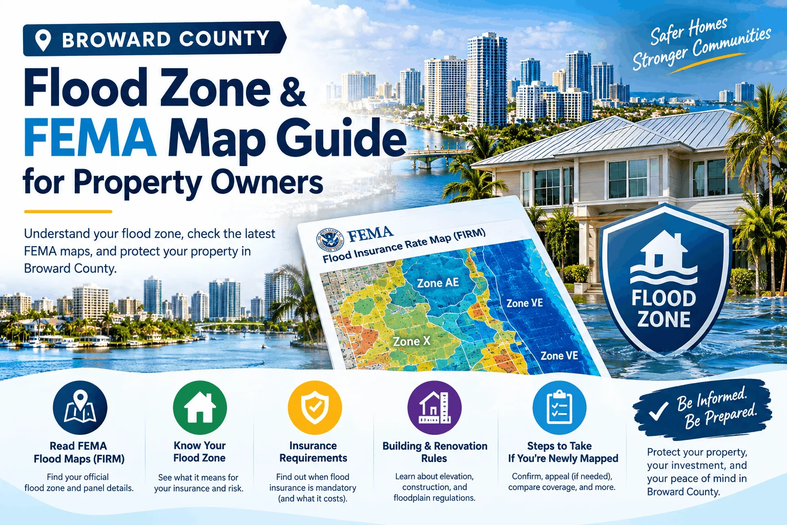
If your property carries a mortgage from a federally regulated or federally insured lender and sits in a Special Flood Hazard Area (any zone starting with A or V), flood insurance is legally mandatory, not optional. This applies whether you’re in Zone AE in inland Sunrise or Zone VE on the barrier island in Fort Lauderdale.
Even outside a mapped high-risk zone, insurance is worth strong consideration. FEMA data cited by the agency notes that homes in low- to moderate-risk zones are still roughly five times more likely to experience a flood than a fire over a 30-year span, and most standard homeowners insurance policies exclude flood damage entirely.
Where to get coverage:
- National Flood Insurance Program (NFIP) policies, sold through most standard insurance agents and backed by FEMA.
- Private flood insurance, which has grown substantially in Florida in recent years and can sometimes offer more competitive pricing for lower-risk properties, particularly those outside VE zones.
What affects your premium:
- Flood zone designation (VE and AE zones cost more than X zones)
- Elevation of the lowest floor relative to the Base Flood Elevation
- Year built and construction type
- Distance to coastline or canal
- Whether flood vents, elevated utilities, or other mitigation features are present
- Claims history on the property
Premiums in Broward County vary enormously by risk profile — from a few hundred dollars a year in a low-risk X zone to several thousand dollars annually for older, low-elevation homes in coastal VE or AE zones. Since FEMA’s Risk Rating 2.0 system prices policies individually based on a property’s specific characteristics rather than zone alone, two homes on the same street can carry very different premiums.
What to Do If Your Property Was Newly Added to a Flood Zone
Given the scale of Broward’s 2024 remapping, many owners are discovering — often through a lender notice or a renewal letter — that their property is now in a Special Flood Hazard Area for the first time. If this happens to you:
- Confirm the determination. Pull the current FIRM panel for your address to verify the new zone and Base Flood Elevation.
- Get an Elevation Certificate. If your home’s lowest floor sits above the Base Flood Elevation, an elevation certificate can sometimes lower your premium significantly, even within a high-risk zone.
- Shop your coverage. Compare NFIP pricing against private flood insurers, since rates can differ substantially for the same property.
- Ask about a Letter of Map Amendment (LOMA). If you believe your specific lot was inaccurately included in the high-risk zone due to elevation or fill, you can petition FEMA to remove your property from the SFHA designation.
- Review your mortgage escrow. Lenders will typically require proof of coverage before your next escrow analysis, so acting early avoids force-placed insurance, which is usually far more expensive than a policy you select yourself.
Building and Renovation Rules in Flood Zones
Properties within Special Flood Hazard Areas in Broward County are subject to local floodplain management ordinances in addition to FEMA requirements. Common rules include:
- New construction and “substantial improvements” (renovations costing 50% or more of the structure’s market value) must elevate the lowest floor to or above the Base Flood Elevation, often with an added freeboard buffer required by local code.
- Mechanical equipment such as HVAC systems, water heaters, and electrical panels typically must be elevated or flood-proofed.
- Enclosed areas below the BFE (such as ground-floor garages in elevated homes) generally must include flood vents to allow water to pass through rather than pressurize the structure.
- Substantial damage from a flood event can trigger mandatory elevation or floodproofing before a rebuild permit is issued, even if the original structure predates current code.
Each city in Broward County administers its own building department and floodplain management program, so specific requirements can vary slightly between, for example, Fort Lauderdale, Hollywood, Pembroke Pines, and unincorporated Broward.
Frequently Asked Questions
1. What flood zone is most of Broward County in? Broward County has a mix of zones, but Zone X, Zone AE, and coastal Zone VE are the most common. Inland and western communities tend to see more Zone X and AE designations, while barrier island and canal-adjacent properties are more likely to fall into AE or VE zones.
2. When did Broward County’s new flood maps take effect? The updated Flood Insurance Rate Maps for Broward County became effective on July 31, 2024, replacing maps that had been unchanged since the 1980s.
3. Do I need flood insurance if I’m in Zone X? It’s not federally required if your mortgage lender doesn’t mandate it, but it’s still recommended. Zone X properties do flood, particularly during extreme rainfall events like the one Broward experienced in April 2023.
4. How do I find my property’s exact flood zone? Search your address on FEMA’s Flood Map Service Center (msc.fema.gov) or use Broward County’s interactive flood zone map viewer, which overlays parcel data directly on FEMA zones.
5. Why was my home suddenly added to a flood zone? Broward County’s 2024 remap added roughly 88,000 properties to flood zones countywide, based on updated storm surge and canal-flow data. Many previously unmapped or low-risk homes, especially in western cities like Miramar and Pembroke Pines, were reclassified into higher-risk zones.
6. What’s the difference between Zone AE and Zone VE? Both are high-risk zones with a 1% annual flood chance and a calculated Base Flood Elevation, but VE zones are coastal areas also exposed to wave action and storm surge. VE zones typically carry the highest insurance premiums and strictest construction requirements.
7. Can I appeal or dispute my flood zone designation? Yes. If you believe your specific property was incorrectly mapped, you can apply for a Letter of Map Amendment (LOMA) or Letter of Map Revision (LOMR) through FEMA, typically supported by a surveyor’s elevation certificate.
8. Does homeowners insurance cover flood damage in Broward County? No. Standard homeowners insurance policies exclude flood damage. Flood coverage must be purchased separately, either through the NFIP or a private flood insurance carrier.
9. How much does flood insurance typically cost in Broward County? Costs vary widely based on zone, elevation, construction, and claims history — from a few hundred dollars a year in low-risk zones to several thousand dollars annually for older, low-elevation coastal properties. Getting an elevation certificate can help reduce costs even within a high-risk zone.
10. Will my flood zone affect my ability to sell my home? It can. Buyers using federally backed financing will be required to carry flood insurance if the property is in a Special Flood Hazard Area, and rising premiums have made flood risk a bigger factor in buyer decision-making and pricing across South Florida.
Final Thoughts
Broward County’s flood risk is not going away, and the 2024 remap made that reality official for tens of thousands of additional property owners. Whether you’re buying, selling, refinancing, or simply reviewing your existing coverage, checking your current FEMA flood zone designation should be a routine part of property due diligence in this county. A few minutes spent confirming your zone, elevation, and insurance requirements can prevent costly surprises down the road — and in a county built largely at sea level, that homework is worth doing well before the next storm season.