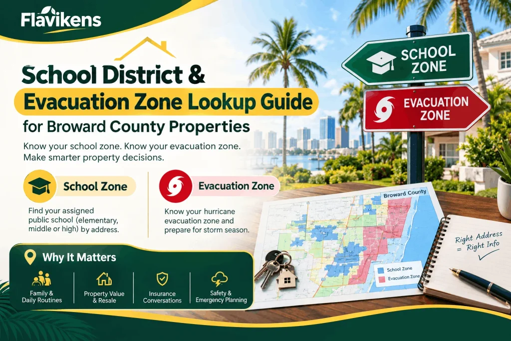
Two of the most practical questions a Broward County homeowner, buyer, or renter can ask about a specific address rarely show up on a standard listing sheet: which public school does this property feed into, and which hurricane evacuation zone is it in? Both answers depend entirely on your exact address, not your city or ZIP code, and both can materially affect your day-to-day life and your emergency planning. This guide walks through how to look up each one, what the designations mean, and why they matter for anyone who owns or is considering property in Broward County.
Why These Two Lookups Matter Together
School zoning and evacuation zoning have nothing to do with each other administratively, but they’re two of the most-searched pieces of address-specific information for South Florida property owners, and for good reason. School assignment affects daily routines, resale value, and family planning. Evacuation zone status affects insurance conversations, storm-season preparedness, and, in a worst-case scenario, whether you’re required to leave your home. Both are determined by precise geographic boundaries that can differ from one side of a street to the other, which is why relying on a neighbor’s answer or an old listing description isn’t reliable.
Part 1: Broward County School District Zones
About Broward County Public Schools
Broward County Public Schools (BCPS) is the sole public school district serving the entire county, and it’s one of the largest in the country. As of the 2023–2024 school year, the district served 251,106 students across 326 schools and education centers, making it the sixth-largest public school system in the nation. The district includes 137 elementary schools, 35 middle schools, 32 high schools, 9 combination schools, 3 technical colleges, 23 centers, and 87 charter schools operating within its boundaries. BCPS has earned an “A” rating from the Florida Department of Education for three consecutive years, and is headquartered in downtown Fort Lauderdale.
Because the district is so large, school assignment is based on detailed attendance boundary maps rather than city limits. Two homes just a few blocks apart, or even on opposite sides of the same street, can be zoned for entirely different elementary, middle, or high schools.
How School Zoning Works in Broward County
BCPS assigns students to schools based on residential attendance boundaries, which the district maintains and updates as neighborhoods grow or school capacity changes. A property’s assigned school is not necessarily the closest school geographically — boundaries are drawn around capacity, feeder patterns, and historical zoning lines, so proximity alone can be misleading.
In addition to boundary (zoned) schools, Broward County offers several alternative enrollment paths:
- Magnet programs, which admit students countywide or from a wider zone based on program focus (STEM, arts, medical sciences, and others), often through an application and lottery process.
- Charter schools, independently operated public schools that are tuition-free and open to students countywide or within a defined service area, subject to enrollment caps and lottery admission.
- School Choice / Controlled Open Enrollment, which allows families to apply to attend a non-zoned school if space is available.
- Virtual school options, including full-time and part-time online enrollment through the district’s virtual school program.
How to Look Up Your School Zone
- Use the BCPS school boundary locator. The district publishes an online address-based lookup tool that shows the zoned elementary, middle, and high school for any Broward County address.
- Check the official boundary maps. BCPS publishes PDF boundary maps by school and by region, useful for comparing a property against nearby zone lines rather than a single address.
- Call the district’s Student Assignment or Choice office. For unusual situations (boundary disputes, new construction, or annexed areas not yet reflected on maps), district staff can confirm the correct assignment directly.
- Verify through the specific school. Individual school front offices can confirm whether a given address falls within their attendance boundary, particularly helpful when a property sits near a boundary line.
- Cross-check with a real estate agent or closing attorney. Boundary lines are a common point of confusion in real estate transactions, so having a second source confirm zoning before closing is a smart practice, especially for buyers relocating specifically for a school.
Common Broward County School Zoning Facts
| Category | Detail |
| District | Broward County Public Schools (BCPS) — sole district for the county |
| Superintendent | Howard Hepburn |
| Total schools/centers | 326 (2023–24), including elementary, middle, high, combination, technical, and charter |
| Enrollment | 251,106 students (2023–24), 6th-largest district in the U.S. |
| District rating | “A” rated by the Florida Department of Education, 3rd consecutive year |
| Zoning basis | Street-level attendance boundaries, not city limits or ZIP codes |
| Alternative options | Magnet programs, charter schools, controlled open enrolment, virtual school |
| Boundary changes | Reviewed periodically as enrolment shifts; always confirm current-year maps |
Why School Zone Matters for Property Value and Planning
A property’s zoned school can influence resale value, buyer demand, and how quickly a home sells, particularly for family-oriented neighbourhoods near highly rated schools. It’s also one of the most common sources of after-the-fact disappointment in real estate transactions — buyers sometimes assume a nearby, well-known school is their assigned school without confirming the actual boundary. Because BCPS periodically redraws boundaries as neighbourhoods grow, it’s worth reconfirming school zoning even for a property you’ve lived in for years, especially before a child transitions from elementary to middle or middle to high school.
Part 2: Broward County Hurricane Evacuation Zones
Understanding Florida’s Evacuation Zone System
Florida counties, including Broward, use a standardized evacuation zone system developed to help residents quickly understand their storm risk. Zones are generally labelled with letters, with Zone A representing the areas at greatest risk from storm surge — typically coastal and low-lying barrier island communities — and zones further from the coast carrying progressively lower storm surge risk. Officials use these zones to issue targeted evacuation orders rather than evacuating an entire county at once, since storm surge risk (not wind risk) is the primary driver of evacuation decisions.
It’s important to understand that evacuation zones are based on storm surge modeling, not FEMA flood zones. A property can be in a low-risk FEMA flood zone but a high-priority evacuation zone, or vice versa, because the two systems measure different hazards: FEMA zones assess rainfall and riverine/coastal flood risk for insurance purposes, while evacuation zones assess storm surge risk for life-safety purposes during an active storm.
Broward County’s Evacuation Zone Structure
| Zone | General Risk Profile | Typical Areas |
| Zone A | Highest storm surge risk | Barrier islands, immediate coastline, and low-lying waterfront communities |
| Zone B | High risk | Areas near the Intracoastal Waterway and inland canals close to the coast |
| Zone C | Moderate risk | Areas further inland but still within surge-prone canal networks |
| Zone D | Lower risk | Inland residential areas farther from surge-prone waterways |
| Zone E | Lowest risk / non-evacuation | Areas generally not subject to mandatory storm surge evacuation orders |
| Non-zoned areas | Evaluated by wind/shelter needs | Mobile and manufactured home residents may be advised to evacuate regardless of zone due to structural vulnerability |
Zone boundaries are set by county emergency management officials in coordination with the National Hurricane Centre’s storm surge modeling, and they can be revised periodically as new surge data becomes available — so it’s worth reconfirming your zone each hurricane season rather than relying on a designation from several years ago.
How to Look Up Your Evacuation Zone
- Use Broward County’s evacuation zone lookup tool. The county’s Emergency Management division maintains an interactive, address-based map where residents can search their specific property to see its assigned zone.
- Check during an active storm advisory. Local news stations and the county’s emergency alert systems publish current zone maps and evacuation orders prominently once a storm threat is declared.
- Confirm with your Homeowners Association or property manager. Condo and HOA communities near the coast often distribute zone information directly to residents ahead of hurricane season.
- Cross-reference mobile/manufactured home status. Regardless of zone letter, residents of mobile or manufactured homes are frequently advised to evacuate during even moderate storm threats, since these structures are especially vulnerable to high winds independent of surge risk.
- Sign up for county emergency alerts. Broward County offers opt-in emergency notification systems that push evacuation orders and shelter information directly to residents by zone.
What Happens When Your Zone Is Called for Evacuation
When Broward County officials order an evacuation, they typically do so zone by zone, starting with Zone A and expanding inland as storm severity and surge forecasts warrant. Orders can be voluntary or mandatory, and mandatory orders are generally reserved for situations where storm surge poses a serious life-safety threat. If your zone is called:
- Follow official instructions from the county and your municipality rather than relying solely on media reports, since timing and scope can change as forecasts update.
- Identify your evacuation route and shelter options in advance rather than during an active storm threat.
- Account for pets, medical needs, and any household members who may need additional evacuation time or assistance.
- Leave promptly once an order is issued for your zone — roads and shelters fill quickly, and conditions can deteriorate faster than forecast in a fast-moving storm.
Combining Both Lookups When Evaluating a Property
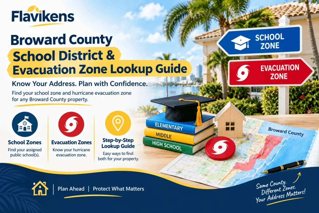
For anyone buying, renting, or simply reassessing a Broward County property, it’s worth checking both designations together rather than treating them as separate errands:
- School zone tells you which schools your household would be assigned to and whether that assignment aligns with your family’s needs.
- The evacuation zone tells you how exposed the property is to storm surge risk and what kind of hurricane-season planning you’ll need to do annually.
Neither designation is necessarily visible on a standard property listing, and both can change over time as boundaries are redrawn or surge modelling is updated. Confirming current information directly from BCPS and Broward County Emergency Management — rather than relying on outdated online references — is the most reliable approach.
Frequently Asked Questions
1. How do I find out which school my Broward County address is zoned for? Use the BCPS school boundary locator tool, which allows you to search by address to see your zoned elementary, middle, and high school. District boundary maps and individual school offices can also confirm assignments.
2. Can I choose a different school than the one I’m zoned for? Yes, through options like magnet programs, charter schools, or controlled open enrolment, though these typically require an application and are subject to space availability and lottery admission in competitive programs.
3. Does Broward County Public Schools cover the entire county? Yes. BCPS is the sole public school district for Broward County, serving all incorporated cities and unincorporated areas within county lines.
4. How often do school attendance boundaries change? Boundaries are reviewed periodically as enrollment and capacity shift, so it’s worth reconfirming your zoned school before a transaction, a school transition year, or if you haven’t checked in several years.
5. What is a hurricane evacuation zone, and how is it different from a flood zone? An evacuation zone measures storm surge risk for life-safety purposes during an active hurricane, while a FEMA flood zone measures flood insurance risk based on rainfall and coastal flooding. A property can rank differently on each scale.
6. How do I find my Broward County evacuation zone? Search your address using Broward County’s evacuation zone lookup tool through the county’s Emergency Management division, which shows your specific zone designation.
7. Which evacuation zone is at highest risk in Broward County? Zone A carries the highest storm surge risk and typically includes barrier island, coastal, and low-lying waterfront areas. Risk generally decreases moving inland through Zones B, C, D, and E.
8. Do mobile home residents need to evacuate even if their zone isn’t called? Often, yes. Mobile and manufactured home residents are frequently advised or ordered to evacuate during hurricane threats regardless of their storm surge zone, due to the structural vulnerability of these homes to high winds.
9. Are evacuation orders mandatory for every zone during a storm? Not always. Officials typically issue zone-by-zone orders based on storm severity and surge forecasts, starting with the highest-risk zones. Orders can be voluntary or mandatory depending on the threat level.
10. Should I recheck my evacuation zone every hurricane season? Yes. Zone boundaries can be revised as storm surge modeling is updated, so confirming your current zone at the start of each hurricane season is a good habit rather than relying on information from a previous year.
Final Thoughts
School zoning and evacuation zoning are two quite unfamiliar systems, but both come down to the same practical point: your exact address determines the answer, not your neighbourhood’s reputation or a general sense of “where you live.” For Broward County property owners, buyers, and renters, confirming both directly through BCPS’s boundary tools and the county’s official evacuation zone lookup is the most reliable way to plan for the school year ahead and for hurricane season. Rather than assuming either designation based on proximity or outdated information.